SAGRA
Situational Awareness for Ground & Air
Turn your iPad or Mac into a professional real-time air and ground traffic display for airport operations.

Turn your iPad or Mac into a professional real-time air and ground traffic display for airport operations.
See aircraft, helicopters, and service vehicles on a detailed airport surface map. Track positions, callsigns, altitude, speed vectors, and history trails — all updated in real time.
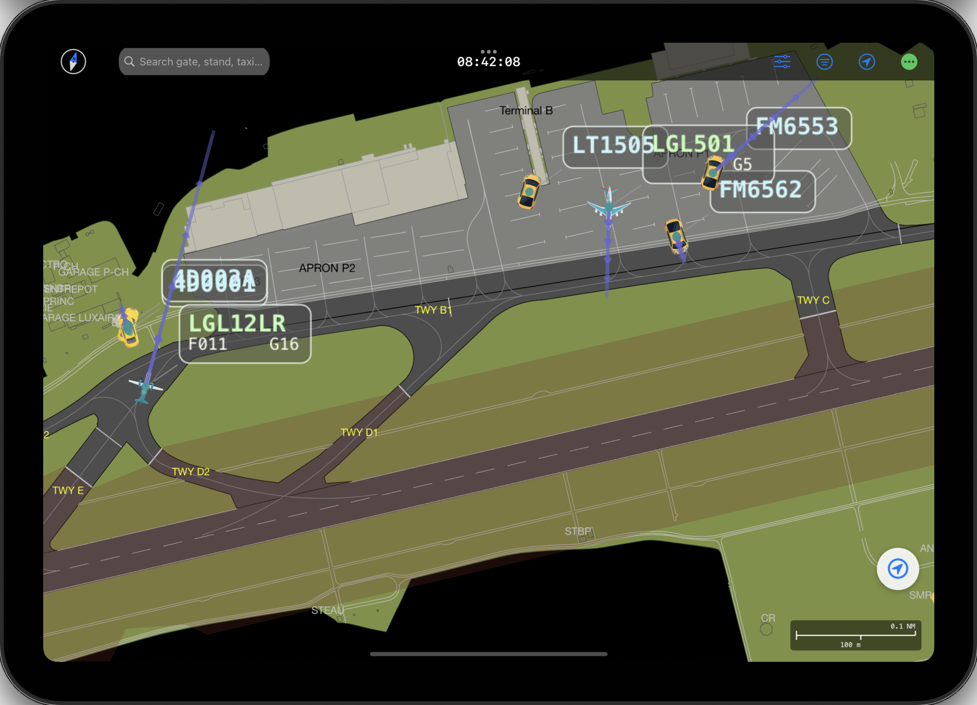
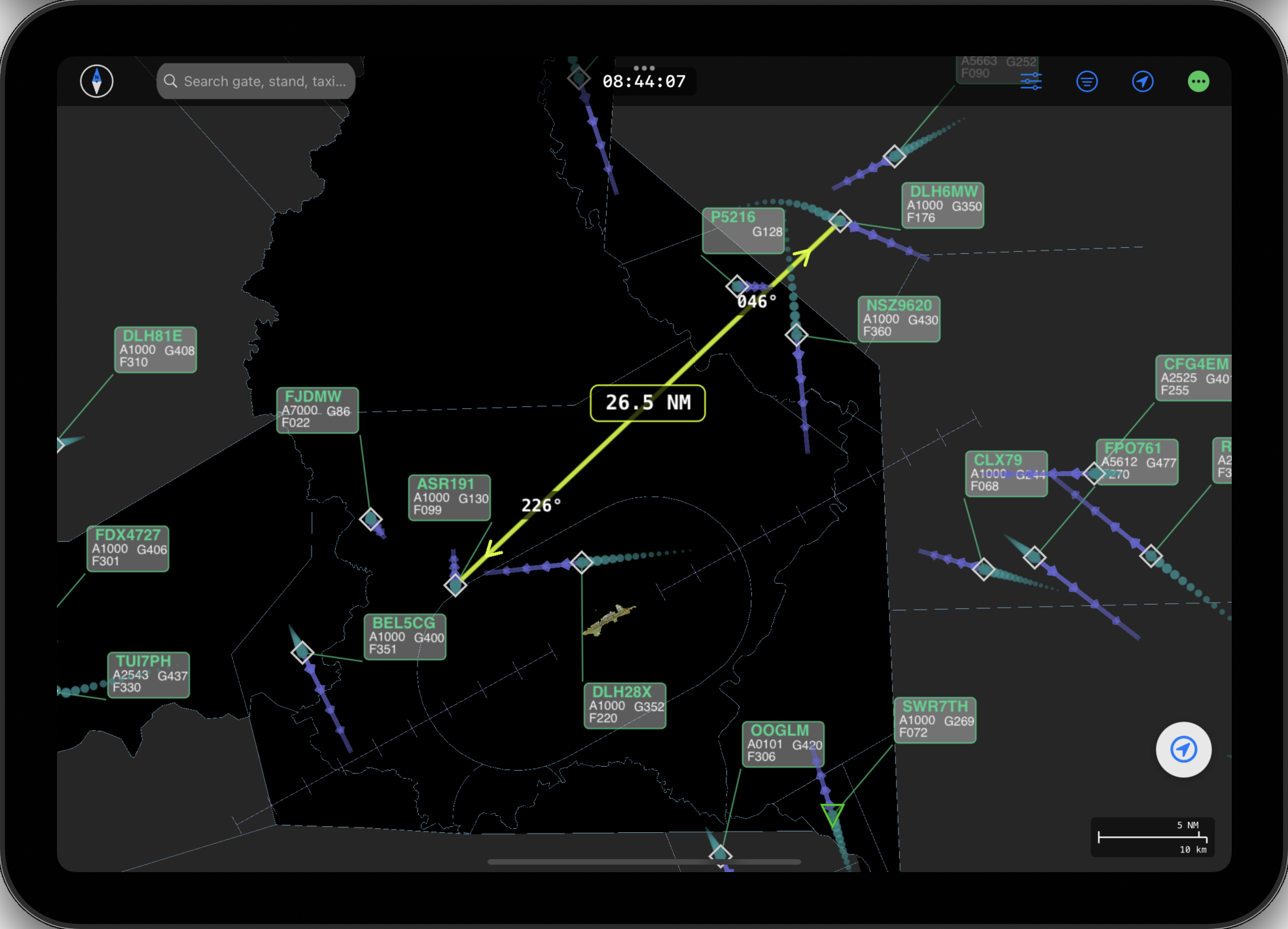
Connect via Bluetooth ADS-B receivers (1090 MHz), local network UDP feeds, or remote WebSocket servers. Record and play back sessions.
Designed for ground controllers, tower operators, ANSP managers, and airport directors. Complete ground, approach, and air traffic picture.
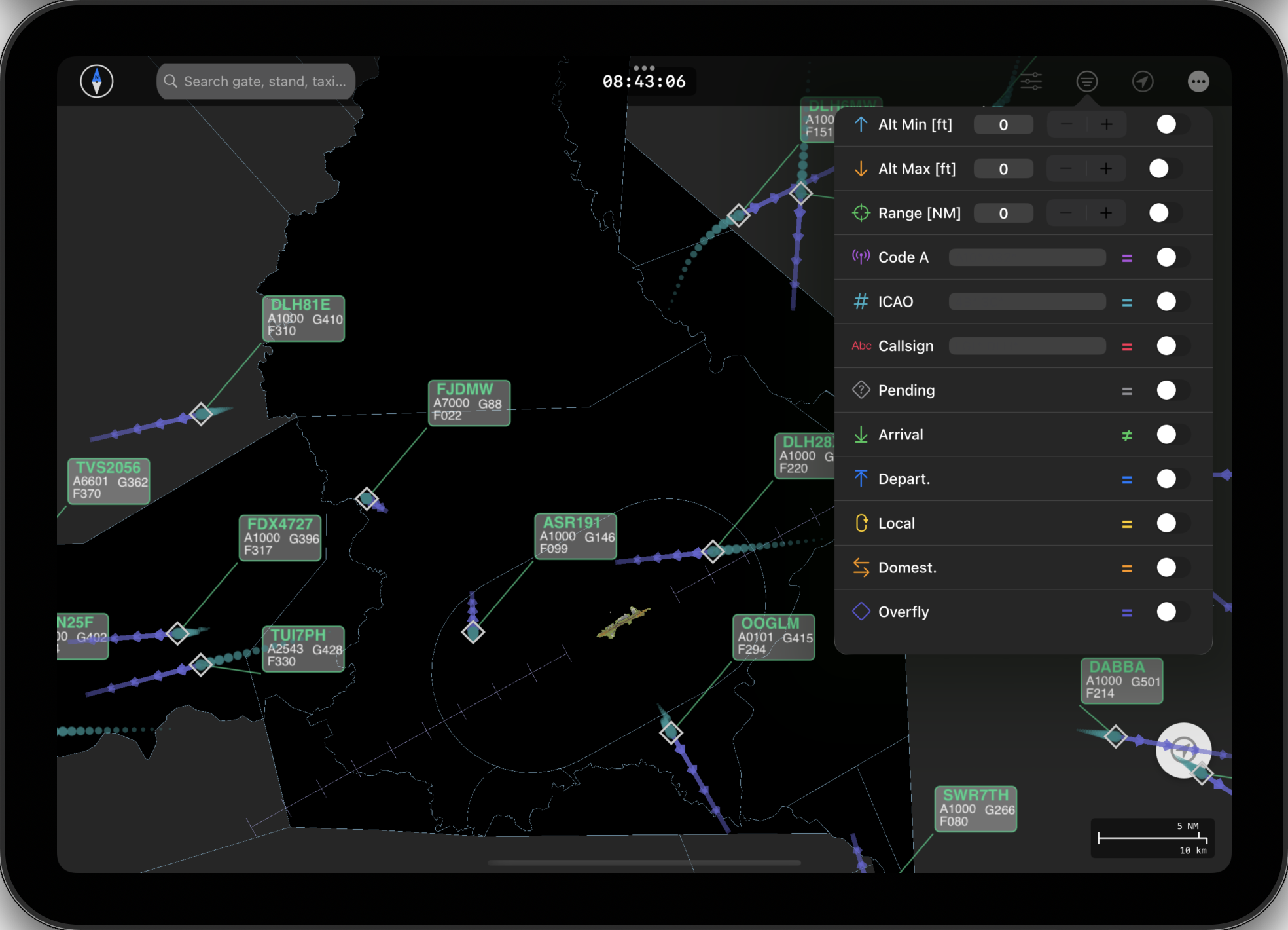
Filter traffic by altitude, range, callsign, arrival or departure status. Focus on what matters to your operation.
Navigate airport surfaces with open maps, routing support, and GPS positioning. External display via AirPlay or wired connections.
Real-time conflict detection on taxiways and runways. Emergency and TCAS alert notifications keep you aware of critical situations.
Optimized for both iPad (driver mode) and Mac (controller/manager mode). Same powerful engine, adapted to each platform.
Interoperable with existing airport surveillance infrastructure.
Download SAGRA and connect to your airport's traffic data in minutes.
Download on the App Store